Dronebhai Logophone
Geospatial Solutions

Survey Mapping & LiDAR Drone Solutions

Built for professional land surveys, infrastructure planning, mining operations, construction mapping and GIS projects.

Survey Mapping & LiDAR Platforms

GeoMapper RTK 45M
RTK Mapping
Order on WhatsApp

GeoMapper RTK 45M

“High-precision aerial mapping platform for survey-grade imagery, terrain measurement and accurate geospatial data.”

Accuracy< 2 cm RTK
Camera45MP Global
Flight Time42 mins
checkRTK / PPK PositioningcheckTerrain MappingcheckGlobal-Shutter Imaging
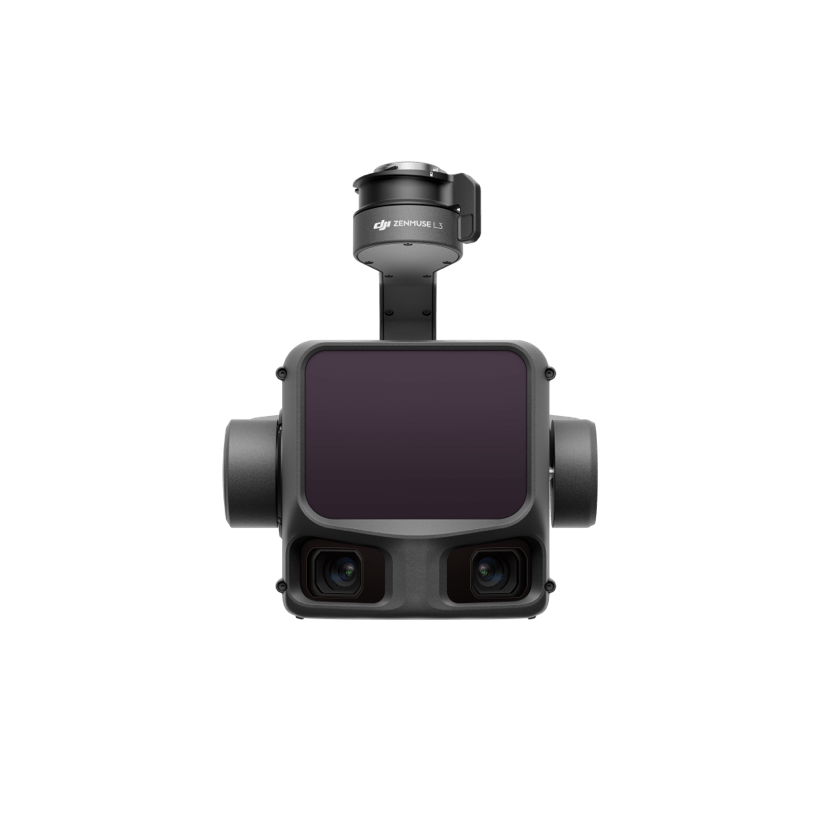
TerraScan LiDAR Pro 3D
3D LiDAR
Order on WhatsApp

TerraScan LiDAR Pro 3D

“Advanced aerial LiDAR platform built for dense vegetation surveys, 3D terrain modelling and detailed point-cloud capture.”

LiDAR Rate240K pts/sec
ReturnsTriple Return
Accuracy5cm Absolute
checkCanopy PenetrationcheckRGB Point CloudscheckCorridor Planning

infoOverview

Built for professional land surveys, infrastructure planning, mining operations, construction mapping and GIS projects. High-resolution aerial imagery, RTK/PPK positioning and LiDAR capture help create reliable survey datasets with reduced dependence on traditional ground control workflows.

Key Features

  • check_circleRTK/PPK GNSS positioning for high-accuracy mapping
  • check_circle45MP mechanical global-shutter survey camera
  • check_circleLiDAR capture for vegetation and terrain modelling
  • check_circleAutomated corridor and area flight planning
  • check_circlePhotogrammetry and point-cloud workflow support

settings_suggestTechnical Specifications

PositioningRTK / PPK GNSS with centimetre-level survey accuracy
Survey Camera45MP full-frame mechanical global shutter
Mapping CoverageUp to approximately 3.5 sq km per flight
Ground SamplingFine-resolution aerial mapping suitable for detailed survey outputs
LiDAR MappingDense point-cloud capture for terrain and vegetation analysis
Output FormatsLAS point clouds, GeoTIFF, DEM/DSM and OBJ workflows
Target Audience

Who It's For

Surveyors, GIS professionals, civil engineering teams, mining companies, infrastructure planners, construction firms and land development consultants.

chatGet Consultation

inventory_2In-The-Box / Service Includes

  • checkSurvey-grade aerial mapping platform
  • checkRTK / PPK positioning equipment
  • checkHigh-resolution mapping camera payload
  • checkRugged ground-control tablet and planning system
  • checkFlight batteries and calibration accessories

Survey & Mapping Drones FAQs

helpWhat is RTK/PPK mapping used for?

RTK and PPK positioning improve the location accuracy of aerial survey data, making the captured information more useful for mapping, measurement and GIS workflows.

helpCan a mapping drone be used for construction surveys?

Yes. Aerial mapping can support site progress checks, terrain models, stockpile measurements, corridor surveys and other construction documentation.

helpWhy is a global-shutter camera important for aerial mapping?

A global shutter captures the image frame without the rolling distortion associated with many rolling-shutter cameras, which can improve photogrammetry results during flight.

helpWhat is LiDAR useful for in difficult terrain?

LiDAR can capture detailed three-dimensional information and is particularly useful for terrain and vegetation environments where conventional imagery may have limited visibility.

helpWhat type of data can a professional mapping drone produce?

Depending on the payload and workflow, outputs can include orthomosaics, GeoTIFF imagery, elevation models, 3D meshes and LAS point-cloud datasets.

Professional Survey Mapping & LiDAR Drone Solutions

For precision mapping, terrain modelling, infrastructure surveys and 3D geospatial projects, the right aerial payload and positioning workflow can deliver more dependable field data with efficient coverage.